GIS Services
Utilities
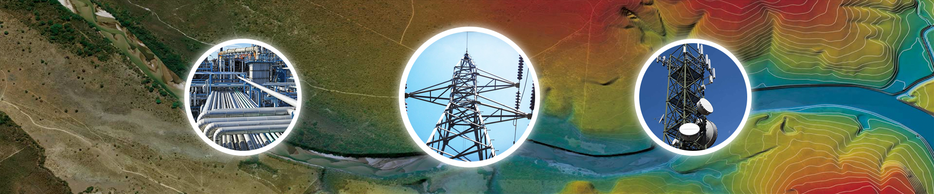
Nowadays utilities require GIS-enabled system for well-timed and cost effective functioning of their daily operations. Utilities inherently are spread-out geographically over a big area of a city, state, country etc. and it's a challenge to plan, develop and maintain the associated assets and infrastructure which are in a form of connected networks. Geospatial technology assists in simplifying the network by positioning the assets accurately on Maps and thus making it easier to identify and manage with ground truth visibility.
Accurate and precise network mapping is considered to be an invaluable aid in building, planning, repairing and maintaining all consumers and assets of a Utility. The GIS datasets gets integrated with all proven modeling software tools, ERP and MIS applications, SCADA systems, thus extending the usage of Geospatial technology beyond just mapping. Intec offers the following service verticals for utilities:
- GIS Data Management: It covers creation, maintenance, migration, conflation and positional accuracy improvement of base map and assets data.
- Network upgrade using planning application
- Legacy records conversion
- Work order posting
- Data model design and development
- Custom application, tools and process development
Intec provides utility mapping in the following fields:
- Electric
- Oil and Gas
- Water
- Waste Water
- Storm water
- Telecommunication